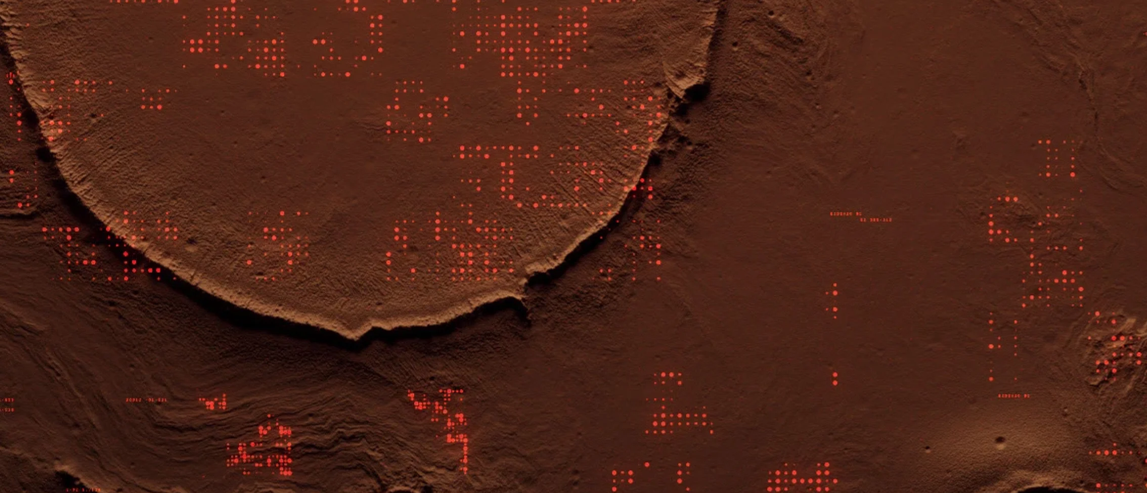
Earthcare struggled to turn vast amounts of raw satellite data into actionable insights. Their previous tools were fragmented and too slow to support timely decision-making. To create real impact, they needed a single platform that could process multiple data streams, visualize results clearly, and scale with growing environmental monitoring needs.
Development / Tech stack

Build real, lasting solutions - the right way
System services

Support and automate your operations
Software Quality Assurance

Ensure all aspects of quality and let your software do the work
Business Analysis

Get clarity and deep understanding - move faster and deliver value on time
Sonarsource
A Satellite Intelligence Dashboard for Earthcare
Challenge
Project Goals
-
01
Unify Data Sources
Integrate satellite feeds and environmental datasets into one central dashboard. -
02
Enable Real-Time Monitoring
Process and visualize data instantly to support faster and more informed decisions. -
03
Improve Accessibility
Design an intuitive interface that makes satellite insights easy to understand. -
04
Support Scalability
Build a system that can handle increasing volumes of satellite data without performance issues.
Solution
Kodlilion designed and built a scalable intelligence dashboard tailored for Earthcare’s environmental monitoring needs. By combining strong data infrastructure with an intuitive interface, the platform transformed raw satellite inputs into clear, actionable insights.
Project Goals
-
01
Real-Time Data Pipeline
Implemented a Kafka-based architecture to ingest and process satellite feeds instantly. -
02
Interactive Visualizations
Developed dynamic charts and maps in Angular to make complex data easy to interpret. -
03
Predictive Alerts
Introduced automated notifications to warn about critical environmental changes before they escalate. -
04
Custom Reporting Tools
Enabled users to generate tailored reports for research, policy, and field operations.
Partnering with Kodilion gave us the platform we were missing. Verdant Skies can now process satellite data in real time and present it in a way that’s easy to act on. It completely changed how our team works with environmental insights.

— Dr. Anna Schneider, Head of Data Science, Verdant Skies
Keep Exploring Our Work
MedicaLink Integrated Patient Communication Hub
View Case Study
View Case Study
Adaptive IoT Control & Security Platform
View Case Study
View Case Study
Innovation Begins
With a Hello.
Get In Touch